Selfie with sky
Mark Pospesel (Coding and Other Stuff)
Coding, tech, living abroad, travel, hiking, vintage plastic bricks
Selfie with sky

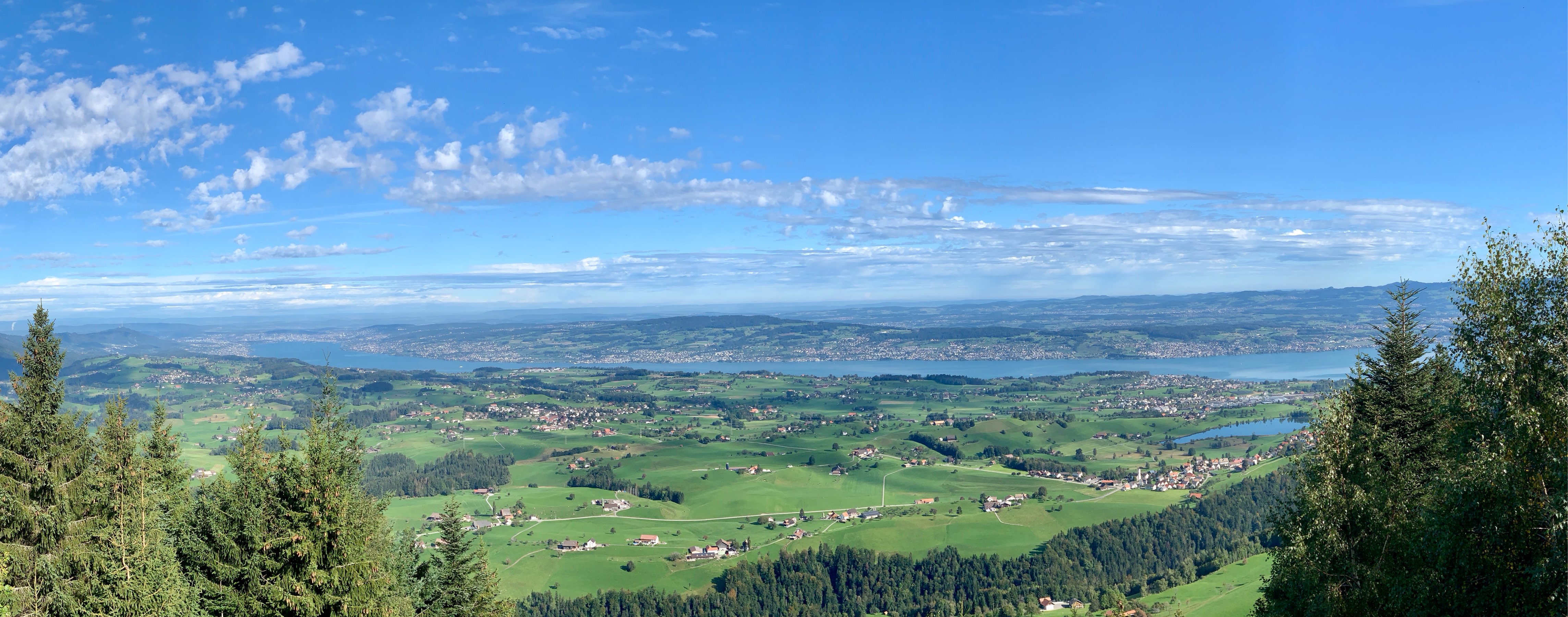
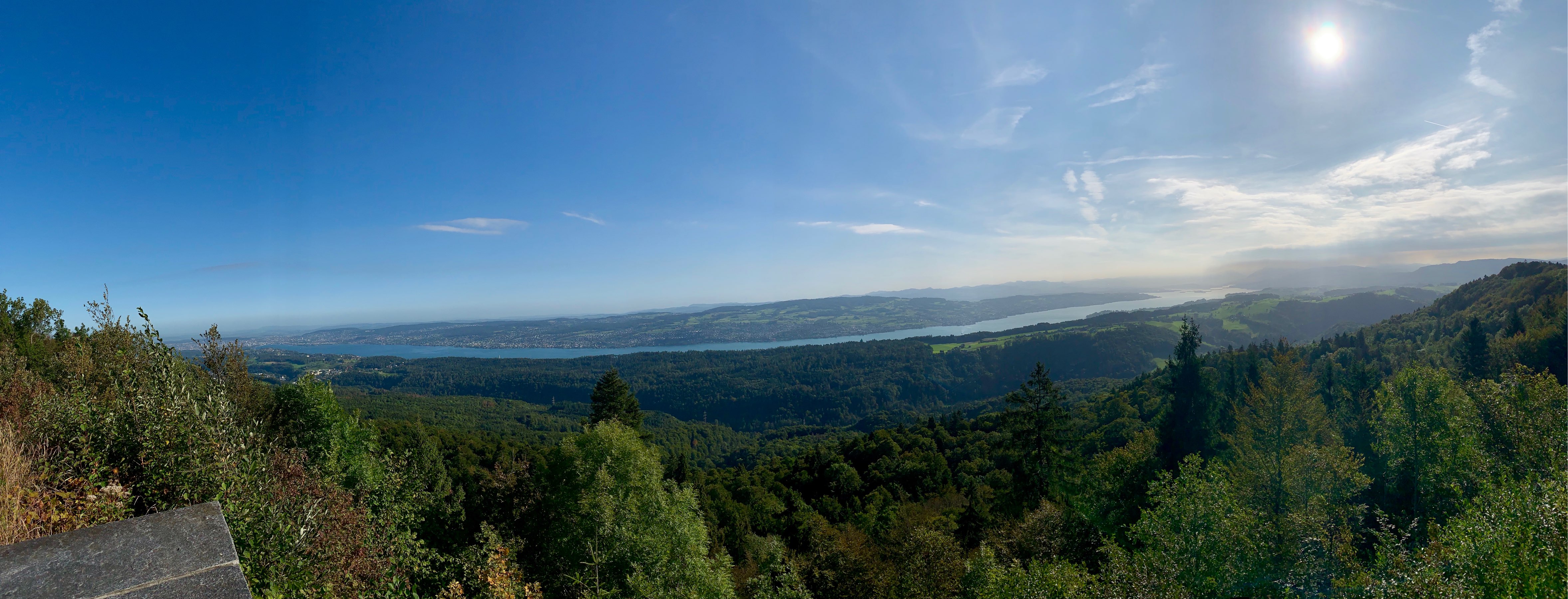
Lake Zürich as seen from Gottschalkenberg. Easy hike today to ease back into it after a week in the US eating lots of comfort food and not exercising much: 7km, 190m ascent, 1h50m, 13°C.
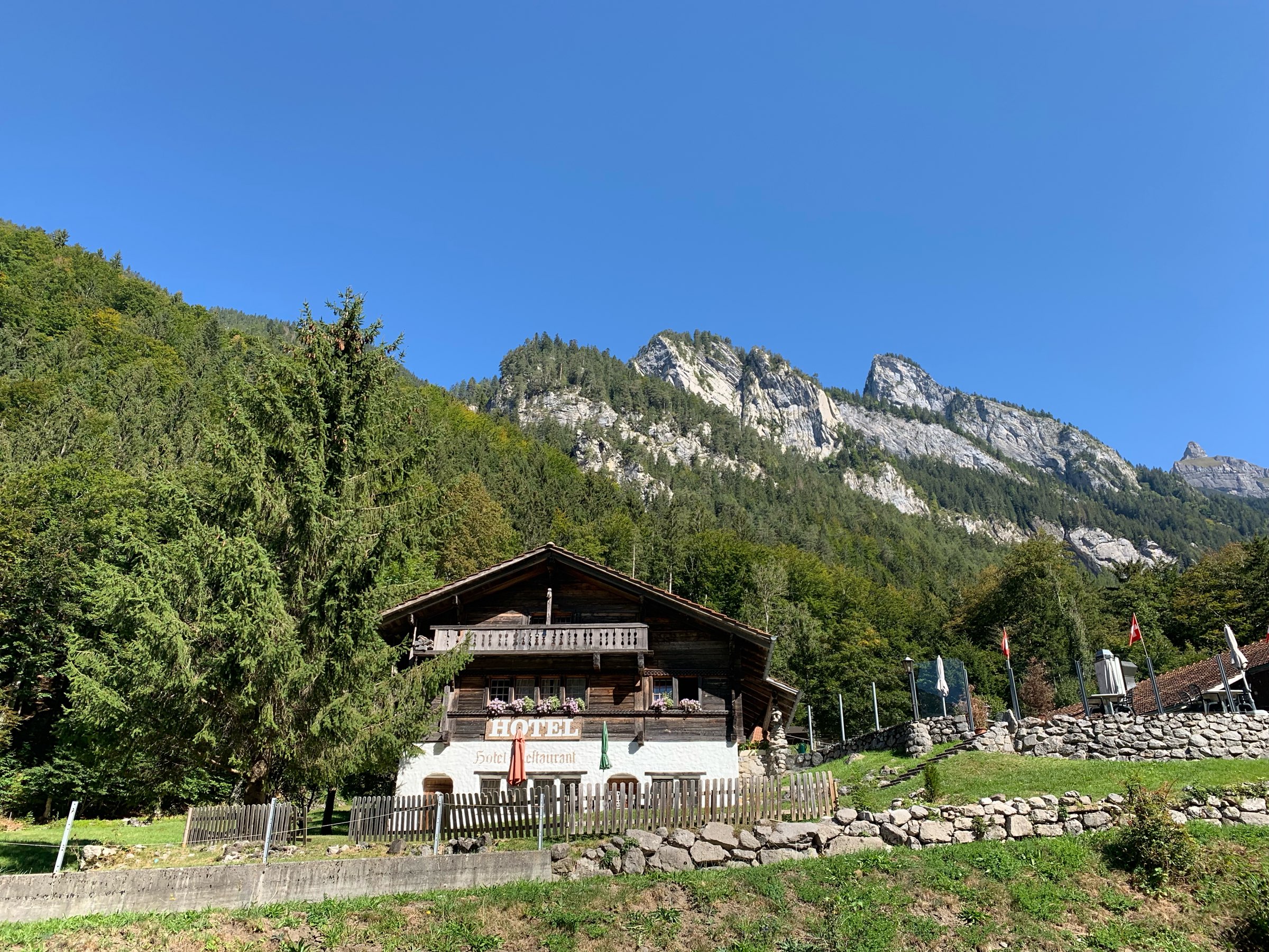
Accommodations for the night in the Bernese Oberland. Nicht schlecht!
Note to self: I should have gone hiking today.

17 September 2019
7.6km, 630m ascent, 3h, 14°C
This was a difficult hike for me. I kept myself hydrated and good on salts, but it was very difficult nevertheless. The last time my heart worked this hard was the Stanserhorn hike almost a year ago (which involved twice as much ascending and is a much harder hike). I think it was because I let the group push me to hike faster than was good for my body. I can definitely do the hike, just not quite that fast. I also think I was feeling the altitude at the end of the hike.
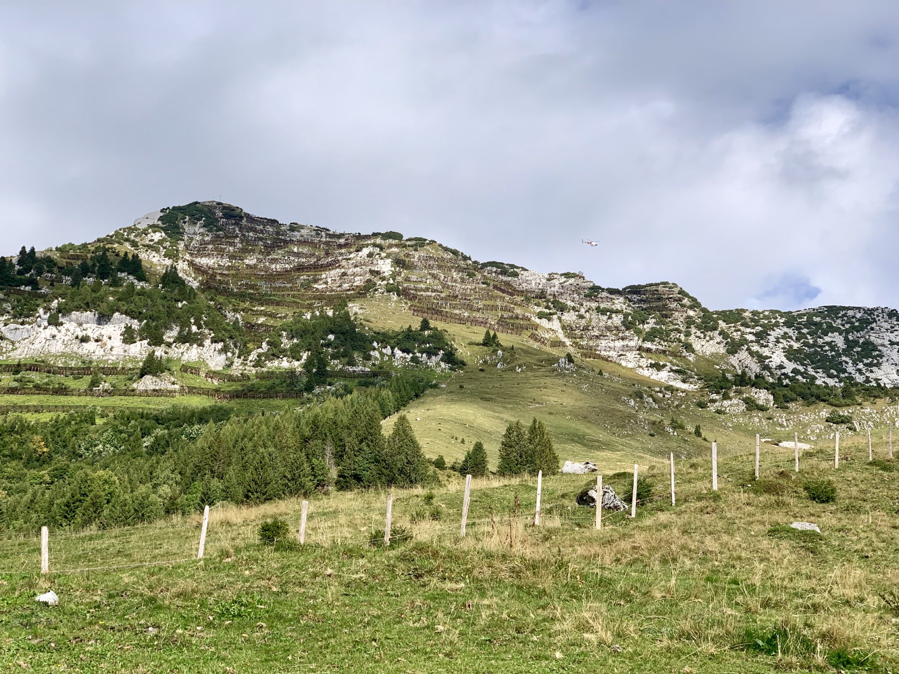
It was a beautiful hike. The Mattstock is located in St. Gallen just north of the Walensee. We parked at Amden and then took a chairlift up to around 1,300m. From there we hiked to the summit at 1,935m. It was all steeply uphill and technically a bit difficult (T3 rating). While it was 14°C at the beginning of the hike at 10am, it was surely in the 20’s by the end and while we were approaching the mountain hut, I felt like I was burning up. Most of the hike was above the treeline, and the sun beat down upon us relentlessly. We should have had nice views of the Walensee throughout the hike, but it was mostly or partly obscured by clouds.
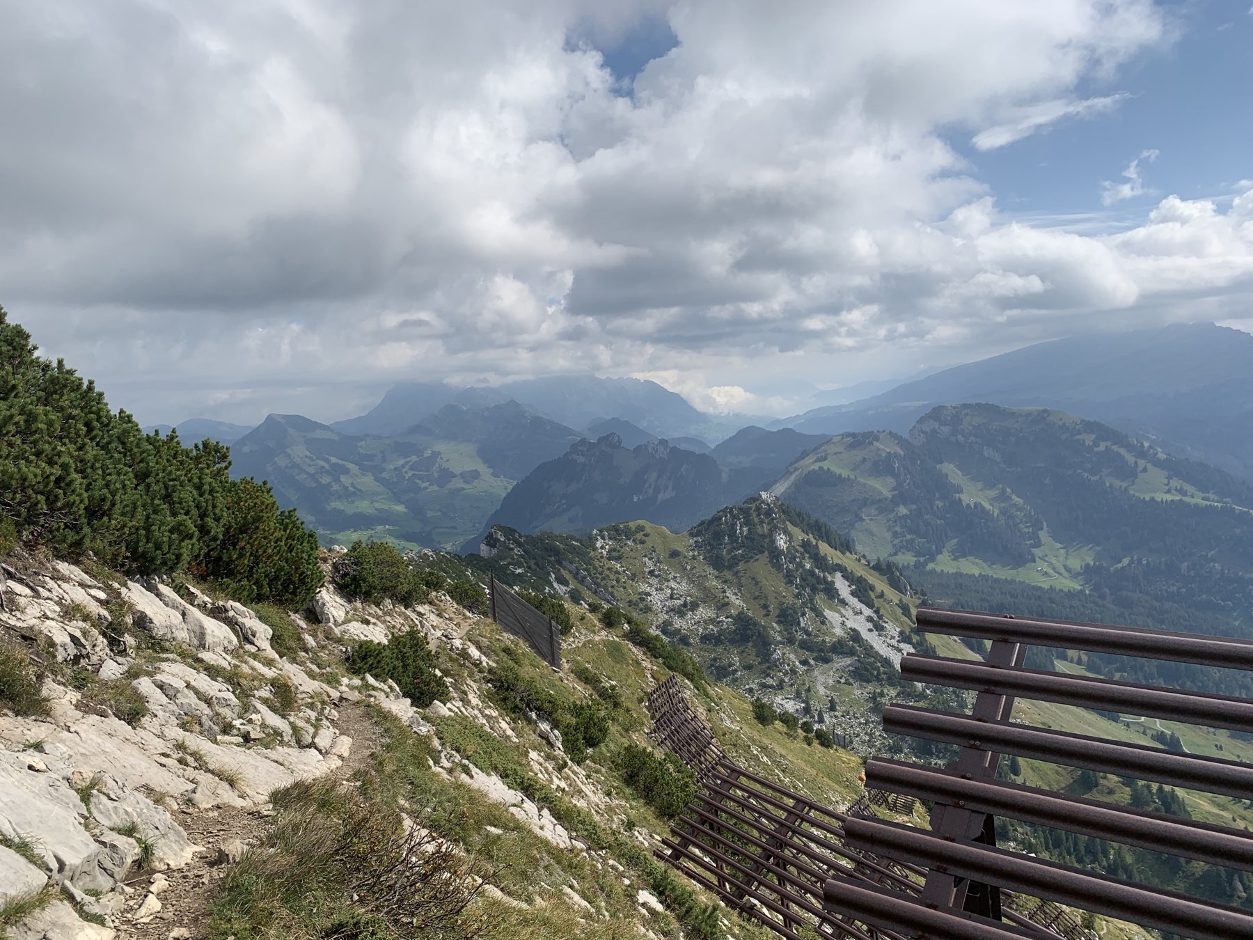
100m below the summit we stopped at a mountain hut to rest. When we first got there I was already exhausted and thought I would skip the summit. But after 5-10 minutes of rest I decided to try the summit at my own pace (stopping frequently). In the end I did make it to the top. The last bit involved scrambling with both hands and holding onto a steel cable bolted to the rock.
At the peak there was a cross and a logbook for hikers to sign their names in. This was the first time I have signed such a book. I hope to get the chance to sign a few more mountain books on this year’s hikes.
This was an out-and-back hike, so we had to retrace our steps and descend everything that we had climbed. The steep descent with tricky footing meant that it was not necessarily easy, but at least it was not a challenge cardio-vascularly. I developed a blister on my right big toe during the descent, probably because that boot was not tied tightly enough.
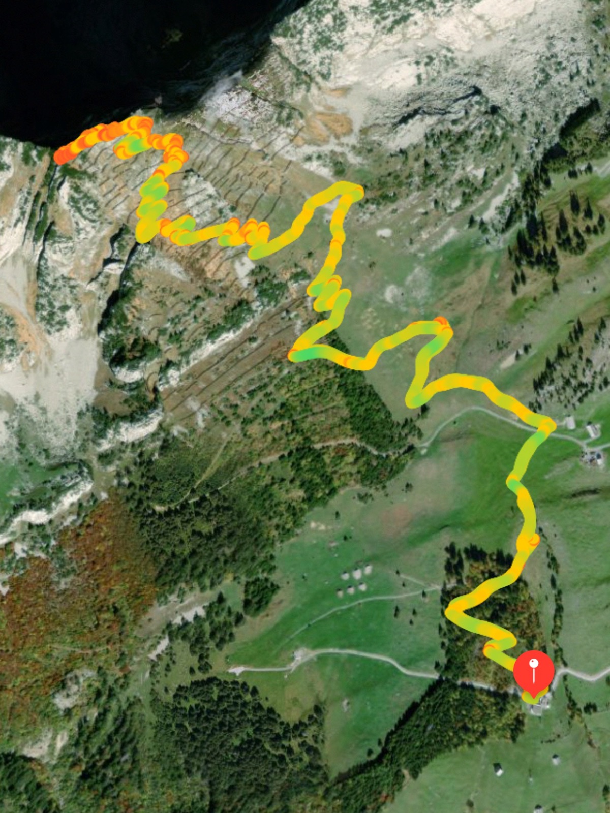
Forget California. Swiss cows are happy cows.
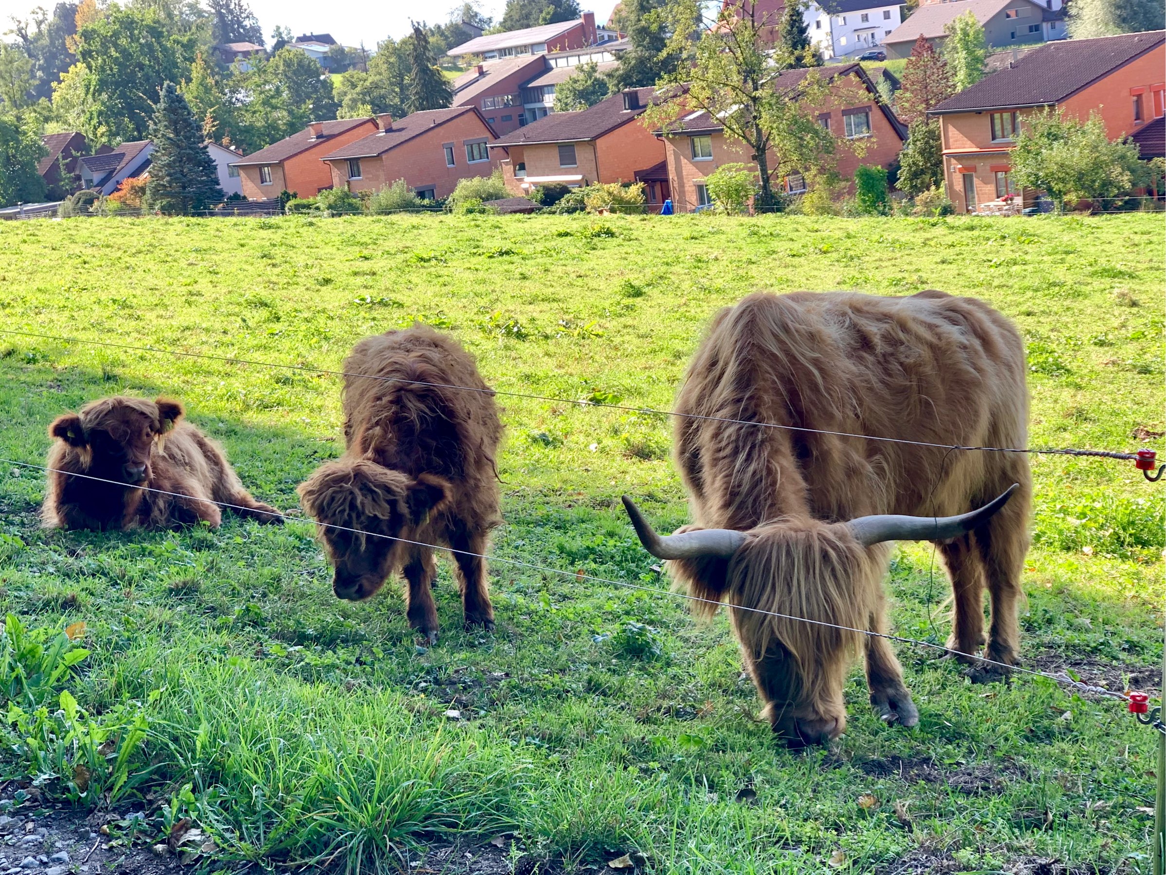
I hiked up the Albishorn this morning: 8.4km, 470m ascent, 2h10m, 8°C. It was a little chilly– felt a bit like Fall. This hike went a lot better than Tuesday’s– because it was easier, and also because I walked at my own pace.
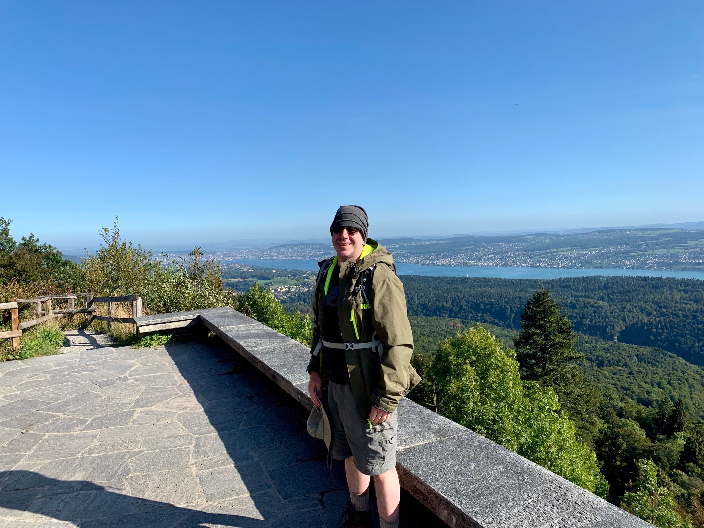
Lake Zürich as seen from the Albishorn
Mattstock summit. Got to write my name into a mountain book they keep there. First time doing that. Hoping to sign a few more this year.
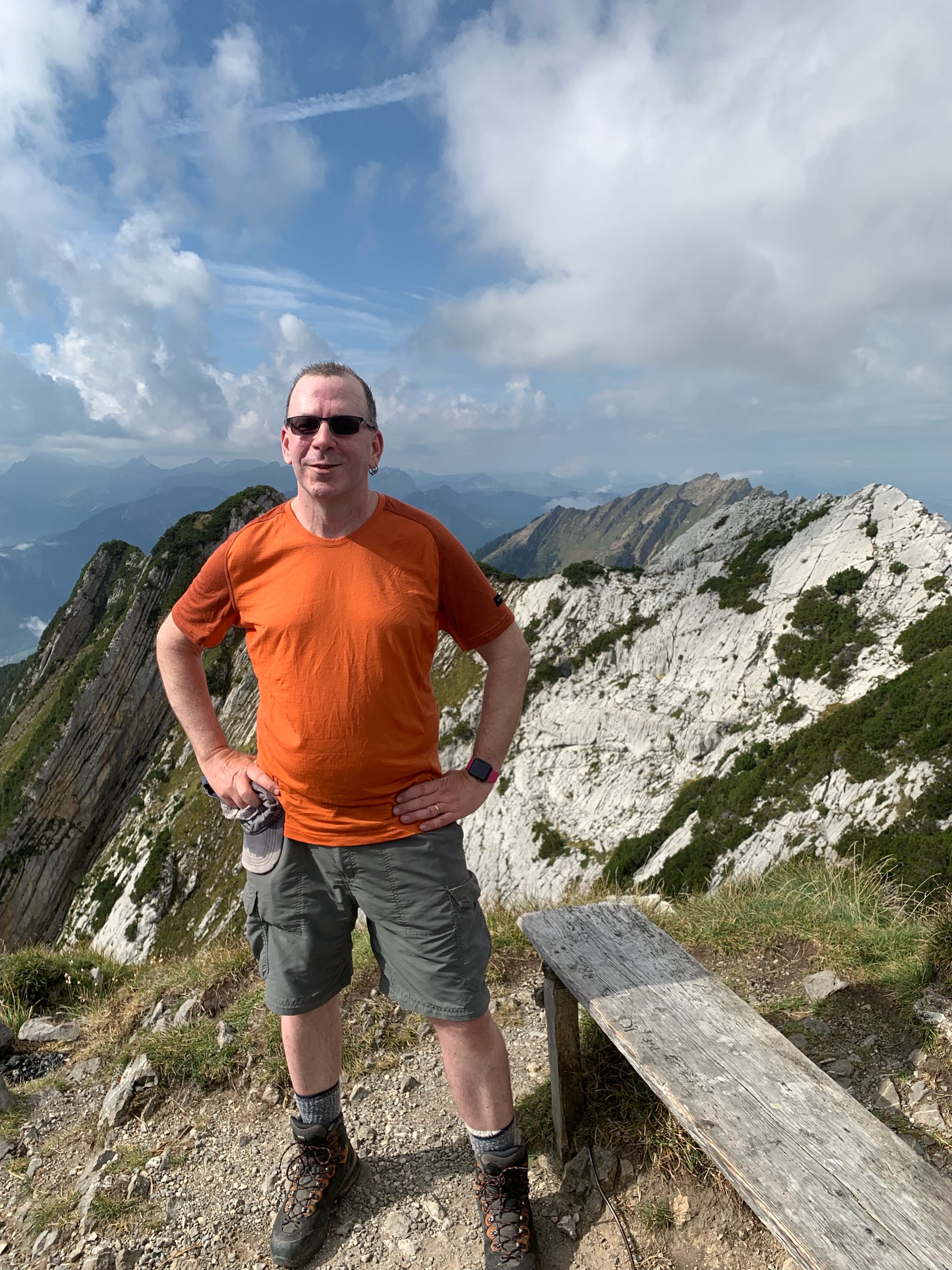
Tuesday morning hike: Mattstock in St. Gallen: 7.6km, 630m ascent, 3h, 14°C. T3 hike so technically a bit difficult. This was a tough hike for me– tougher than it seems from the stats. Evidently too much pain chocolat, charcuterie, and crepes and not enough hiking!
